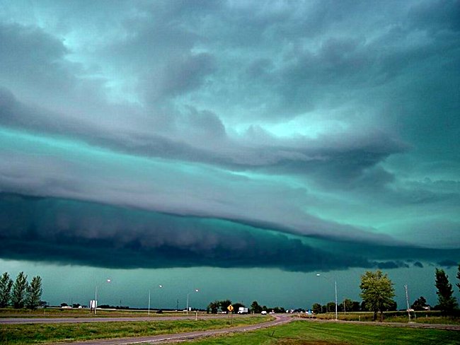
De lucht voordat Katrina toesloeg…
Wie deze foto’s dan ook genomen heeft, heeft fantastisch werk geleverd. En wie zei dat Katrina ‘ontzagwekkend en schrikaanjagend’ was, sprak de waarheid.
Kijk hier maar eens naar…
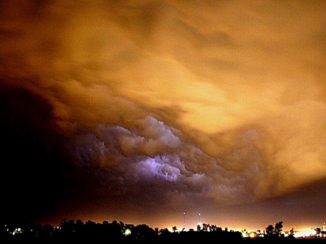
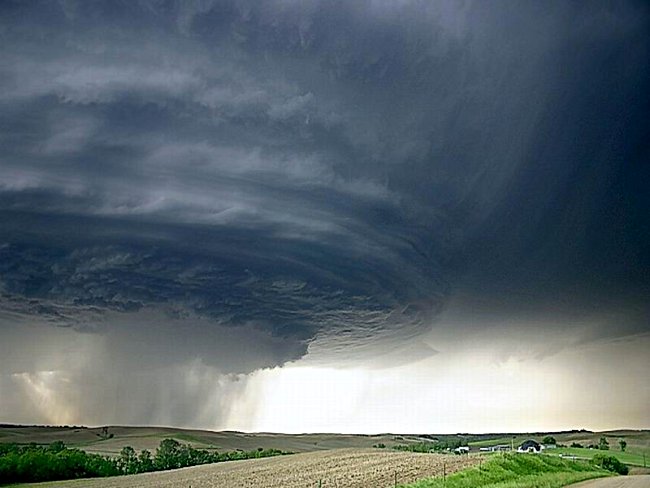
Deze foto’s werden genomen door een man in Magee, Mississippi, waar het hart van de storm doorheenjoeg – wat een ervaring. Magee ligt 240 km ten noorden van Waveland, Mississippi, waar de orkaan het land introk. De dans met Katrina, deel van haar schoonheid toen zij vernieling achterliet bij haar vertrek. Ze zijn opmerkelijk dramatisch…
The Sky Before Katrina Struck…
Whoever took these pictures did an awesome job. And whoever said Katrina was ‘awesome and terrifying’ is telling the truth. Wow, take a look at this ….
These pictures were made by a man in Magee, MS where the eye of the storm passed through – what an experience. Magee is 150 miles North of Waveland, Mississippi where the hurricane made landfall. The dance with Katrina, part of her beauty as she left destruction on her exit. They are remarkably dramatic…





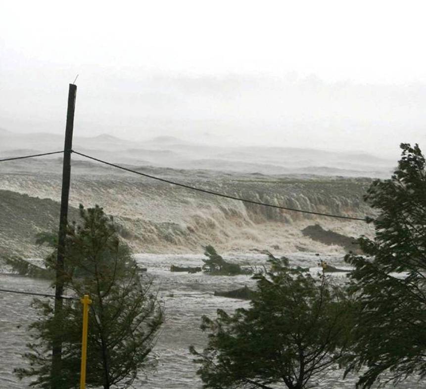
De volgende foto werd genomen vanaf het balkon op de derde verdieping van het St. Stanislaus College dat naast de Vrouwe van de Golf kerk ligt in de Baai van St. Louis, Mississippi, op de ochtend van 29 augustus 2005. Men gelooft dat dit de oorspronkelijke vloedgolf is, veroorzaakt door orkaan Katrina. De vloedgolf was ongeveer 35 tot 40 voet hoog (ruim 9 tot 12 meter).
Toen hij insloeg bij de aan het strand gelegen plaatsen van de Baai van St. Louis en Waveland, Mississippi, verwoestte hij 99% van ieder bouwwerk langs het strand over een afstand van bijna 15 km en meer dan anderhalve km landinwaarts. Daar begon de verwoesting pas. De overstroming die verder landinwaarts ging verwoestte de inhoud van alle huizen op 35 na in deze twee gemeenten van bij benadering 14.000 mensen.
The following picture was taken from the third story balcony of Saint Stanislaus College located next door to Our Lady of the Gulf church in Bay Saint Louis, Mississippi, on the morning of August 29th, 2005. This is believed to be the initial tidal wave from Hurricane Katrina. The tidal wave was approximately 35 to 40 feet high. When it slammed into the beach front communities of Bay Saint Louis and Waveland, Mississippi to completely destroy 99% of every structure along the beach for 9 miles and over a mile inland.
The destruction only started there.
The flooding that continued inland destroyed the contents of all but 35 homes in these two communities of approximately 14,000 people.
